


About Us
PLS Geomatics
Pipeline Construction Services Ltd (PLS Geomatics) a leading multi – disciplinary surveying, investigative and civil engineering company based in the midlands but operates across the UK and Ireland.
Working across a wide range of sectors including Rail, Highways, Construction, Civil Engineering and Utilities companies. PLS Geomatics is part of the PLS Group of companies which has built its reputation in the pipeline and civil engineering sectors in the UK and Internationally.
The management team combines a breath of delivery experience with their understanding and implementation of use of cutting-edge technology. This ensures that they deliver the best to their clients on time and on budget but also mitigate any engineering risk.
Services
Established in 2014 as a Pipeline engineering company, the PLS Group has expanded its service provision to include critical Geomatics and Investigative services:
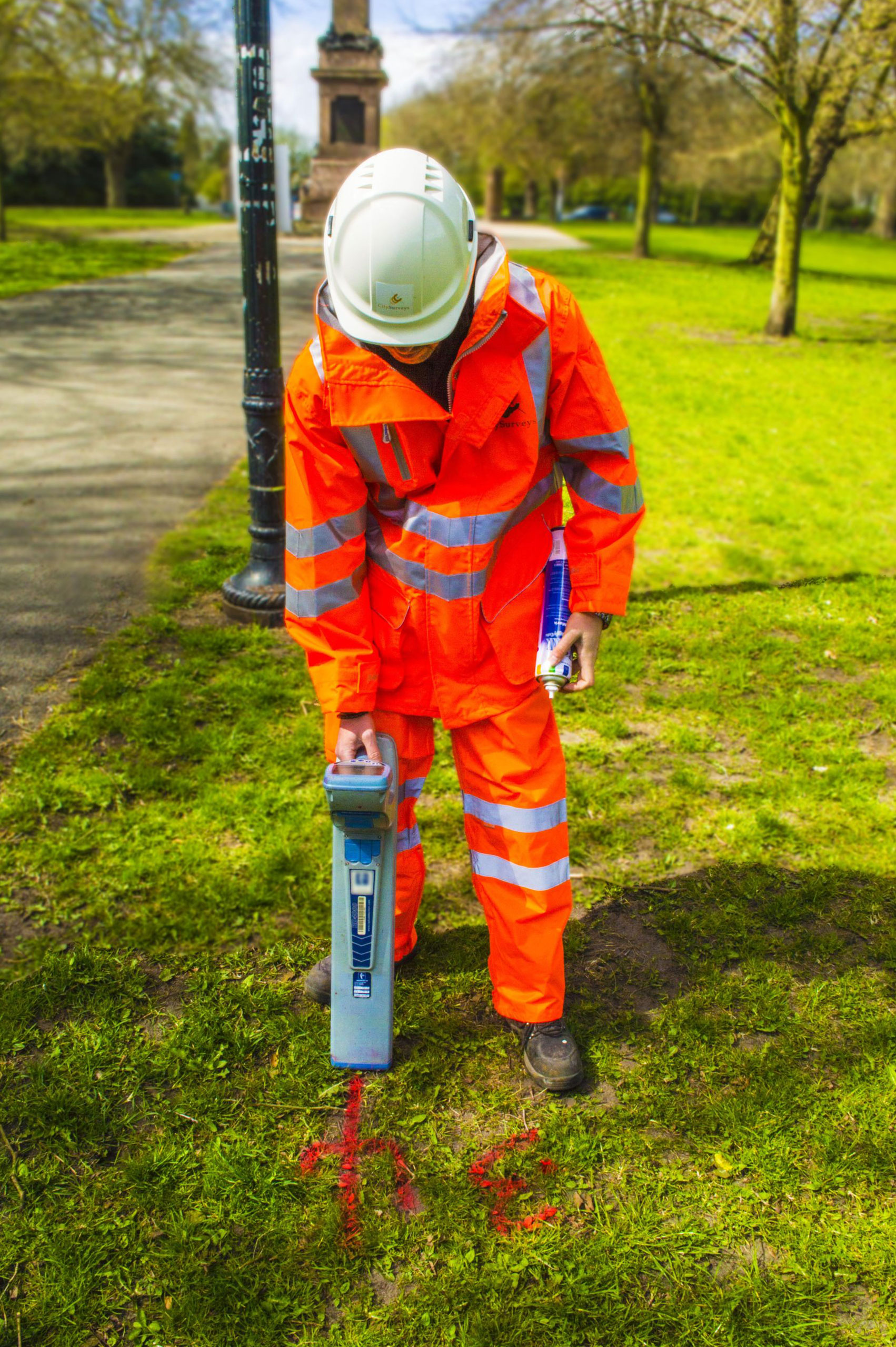
- Utility mapping – Using cutting edge dual frequency ground penetrating radar, electromagnetic cable avoidance tools and mapping using total station.
- Vacuum Excavation – using air and water lance technology, PLS can safely verify utilities mapped using the GPR and electromagnetic technology.
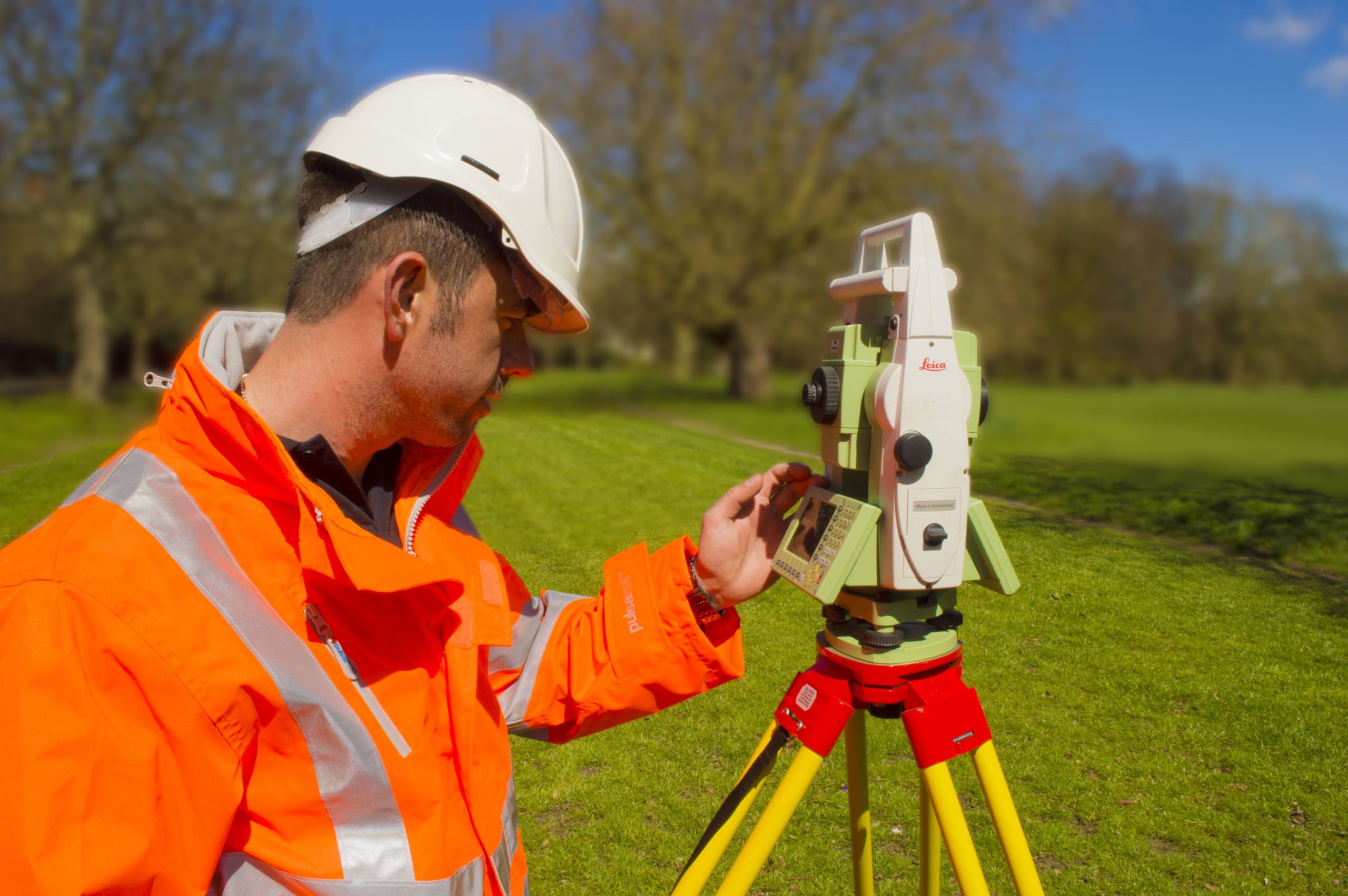
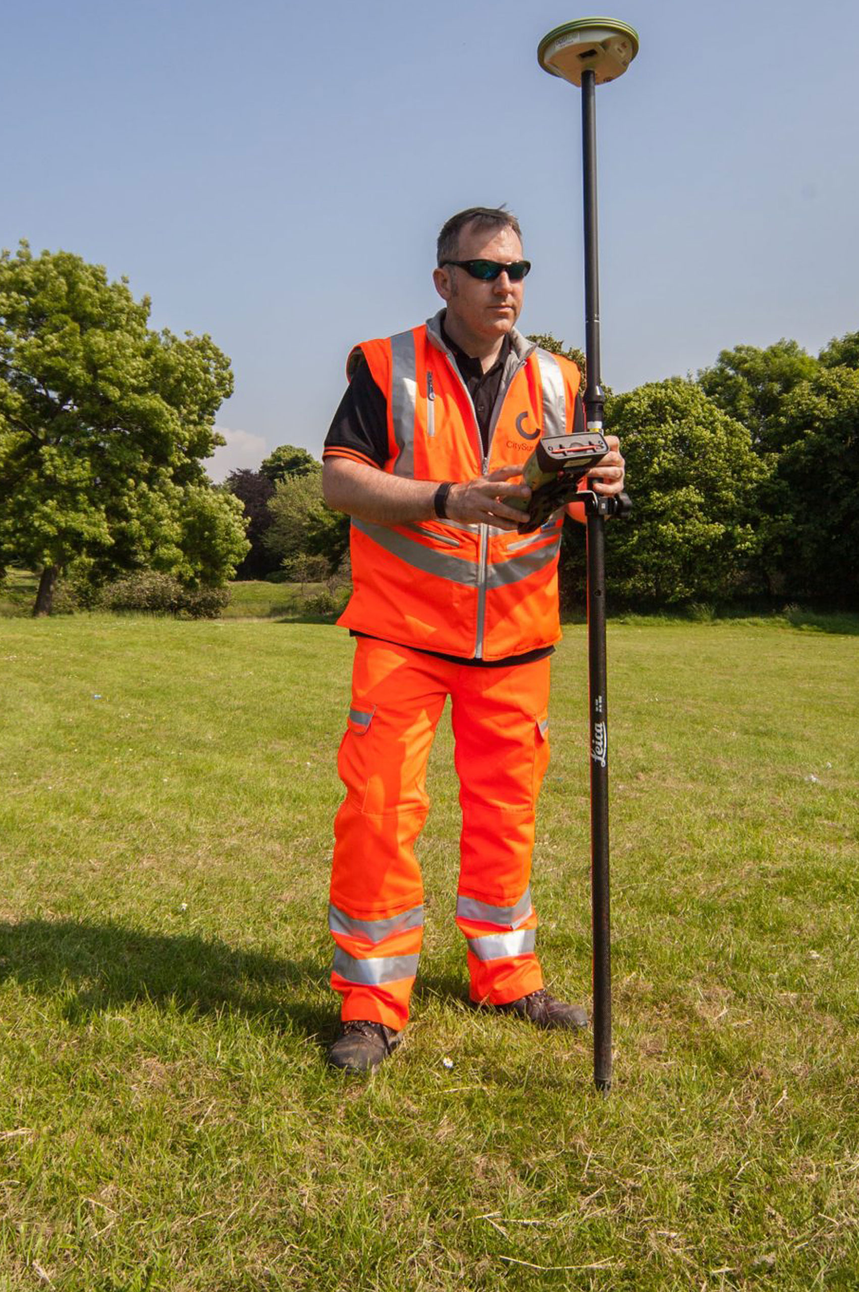
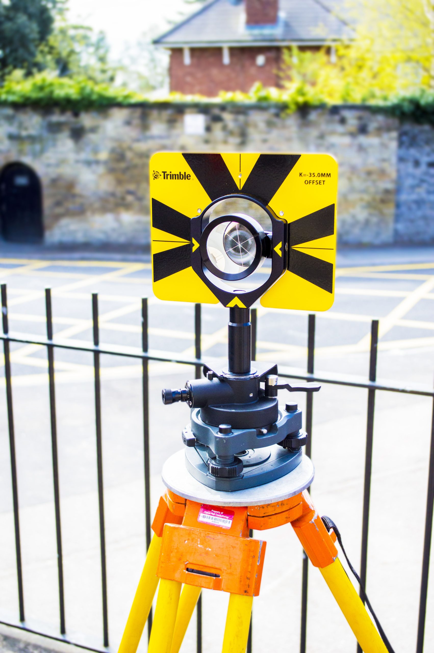
- Geospatial surveying – Producing topographic surveys and 3D models using a variety of GNSS, Total Station and 3D Laser Scanning technology.
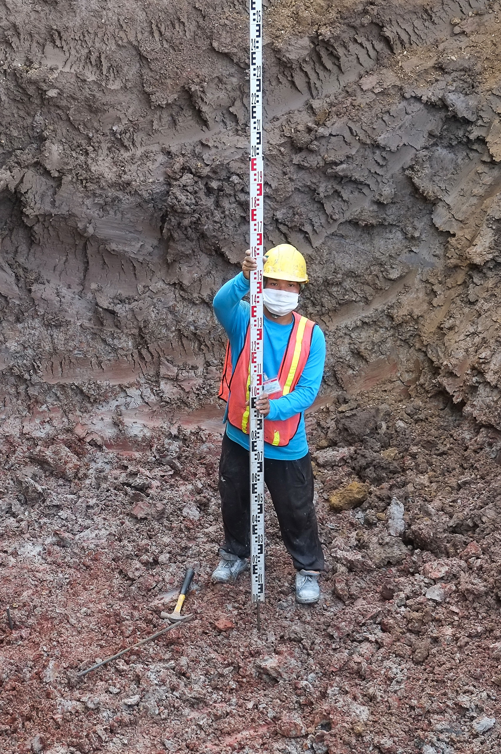
- Concrete testing/structural investigation – using Hilti PS1000 Pulse radar and PS350 Ferroscan technology.
- Movement monitoring – whether it is track monitoring or structural monitoring, PLS can employ the use of modern, wireless monitoring equipment and present results on a web based portal.
- Site Engineering – From traditional line and level setting out to the use of modern survey equipment driven machine control.
- Railway Geospatial Engineering – in accordance with group standards PLS can provide Gauge Clearance, OLE Heights and Staggers and track surveys to facilitate design.
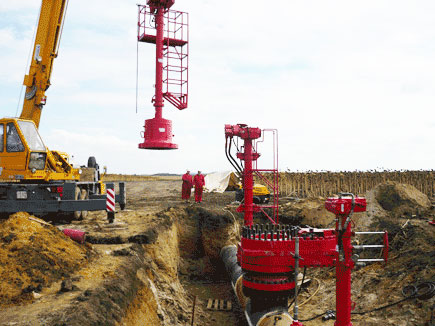
- Pipeline Surveys – covering the setting out of easements to the “As – built” mapping of freshly laid pipes.