


Architectural Surveys
Over the years, PLS Surveys has formed excellent working relationships with many significant architectural practices throughout the UK providing the complete range of architectural surveying services. In doing so we help reduce costly delays, cut overheads and eliminate potentially serious breakdowns in communication. The result is a far smoother, more economical and positive working relationship than is experienced with many other firms.
Measured Building Surveys
Using the latest bespoke software and modern, touch screen field computers, data is stored and verified on-site and in real-time using measuring equipment with Bluetooth connectivity. The result is more efficient survey teams, higher quality drawings and increased productivity. Ultimately, this can mean lower prices for our clients.
Building Elevations
Using either laser-scanning, reflectorless instruments or advanced photo modelling techniques, and Drones, detailed building elevations can be produced to a high degree of accuracy within a short time frame. Our clients regularly commission us to produce plans for everything from private dwellings and supermarkets to listed and elaborate church buildings.
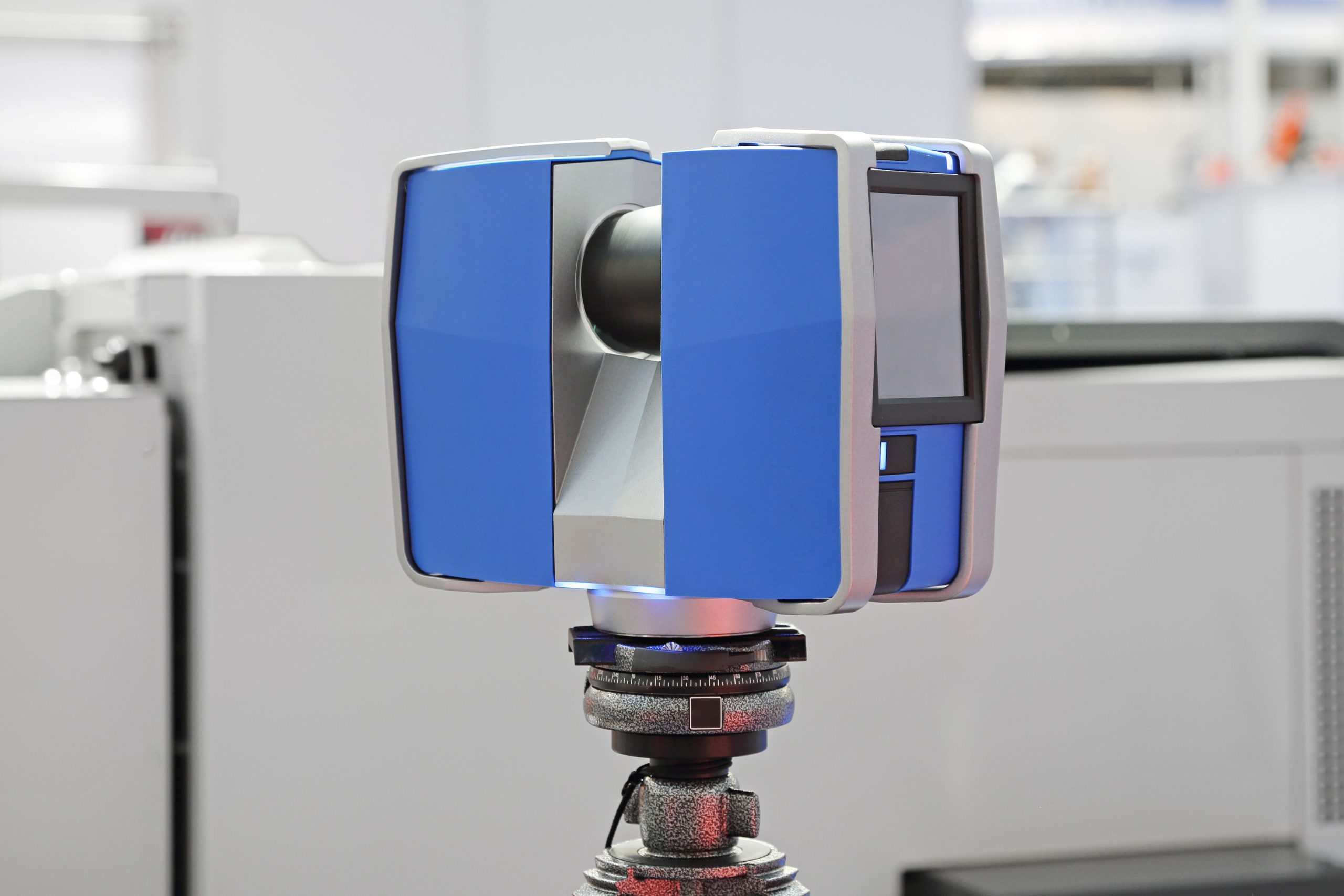
Laser Scanning
This system involves the emission of pulse laser beams that create a cloud of referenced points. The data is then interpreted, generating both 2D and 3D products as requested. Elevations, sections, 3D and TIN models are just some of the products that can be derived from the cloud. All line work is produced meticulously in AutoCAD format, the end result being an incredibly accurate, flawless product. The precision and value of these scans cannot be over-estimated.