


Latest News on Surveying
Introducing the PLS Geomatics news: Your Premier Source for Geospatial Insights and Innovations.
Explore cutting-edge advancements, interesting perspectives, and groundbreaking solutions in geospatial technology. Gain in-depth knowledge and expert insights on surveying, utility mapping, topographic services, data analysis, remote sensing, GIS, and more.
Discover real-world applications in urban planning, environmental management, transportation, and agriculture. Benefit from practical tips, step-by-step tutorials, and engage in meaningful discussions. Stay informed and shape a world driven by informed decisions and sustainable solutions with the PLS Geomatics news section.
Our carefully crafted content delivers valuable resources for professionals in surveying, utility mapping, and topographic services.
-
Discovering the Depths: Unlocking the World of Utility Mapping Surveys
 Beneath our feet lies a hidden labyrinth of vital infrastructure that powers our everyday lives. From water pipelines to electrical cables, underground utilities form the backbone of modern society. However, accurately mapping this underground maze is a complex task. In this blog, we will delve into the fascinating realm of utility mapping surveys and explore […]
 -
Surveying in the UK
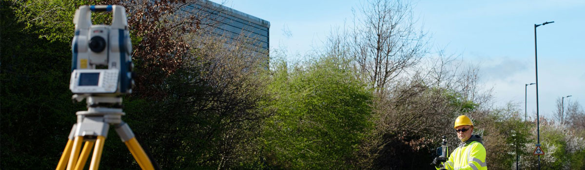 In the United Kingdom, a country known for its rich history and diverse landscape, surveying plays a vital role in a wide range of industries, including construction, land development, infrastructure planning, and environmental management. The process of surveying involves the measurement and mapping of the Earth's surface to gather essential data for decision-making.